
Government Solutions
Provide remote data access & streamline zoning management for staff, citizens, & stakeholders
Learn More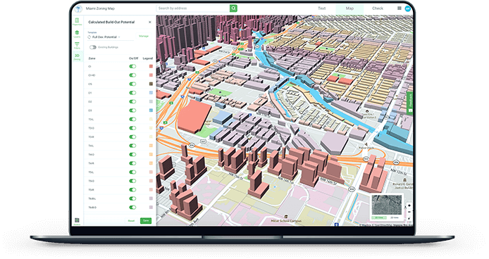
Real Estate Solutions
Gain a competitive advantage with deeper property insights & zoning intelligence
Learn More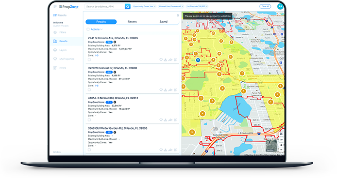
Professional Services
Harness the power of Gridics’ world-renowned team & tech-enabled planning capabilities
Learn More
Interested in How Gridics Can Help?
Our team is ready to help with both public & private sector zoning challenges
By Providing Your Email, You Agree to Our Privacy Policy
The Tools to Solve Your Toughest Zoning Challenges
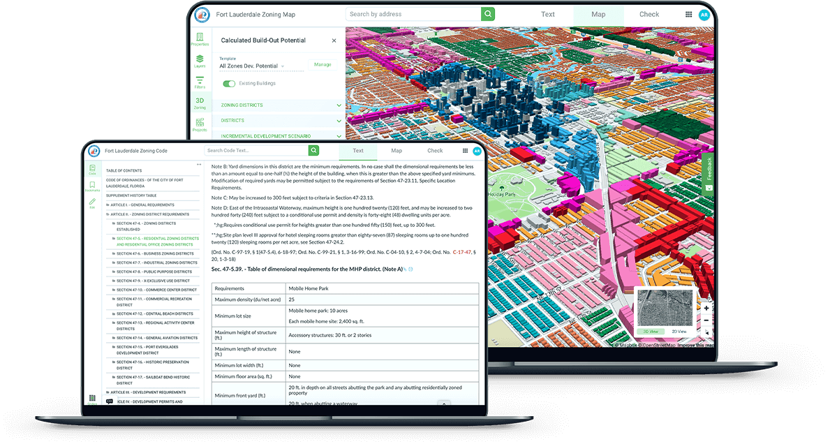
How Our Technology Works
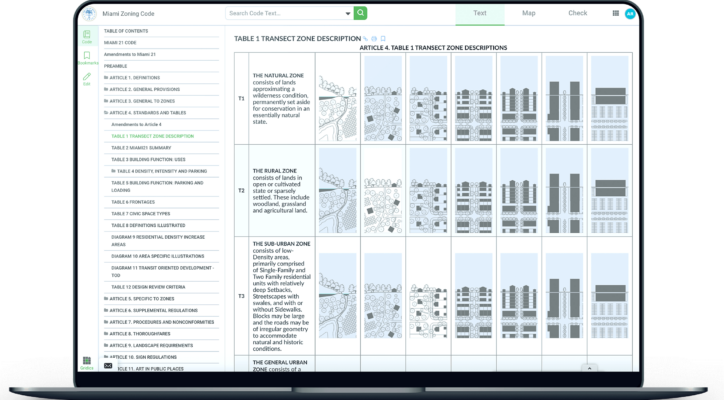
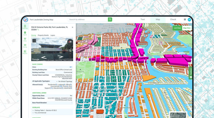
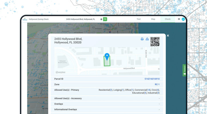
We've developed a method to convert zoning code text into parcel-level data that can be understood visually.
User-Friendly Interfaces - Our applications make it easy to search & visualize parcel-specific data

Patented Rules Engine - Our zoning rules engine processes the data & powers our applications

Data Layers - We combine a wide range of public property data, GIS shapes, transit data, & more

Zoning Codes - We digitize municipal zoning code text & create algorithms based on the ordinances

Validated & Trusted by Municipal Governments
Gridics is the only parcel zoning data provider trusted by municipalities large & small. The breadth, depth, & accuracy of our data is unrivaled.


Hear From Our Partners